
Industries
Industries we cater to
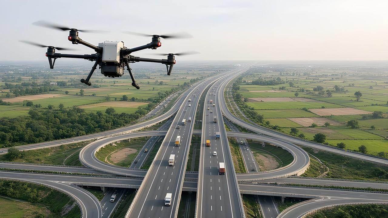
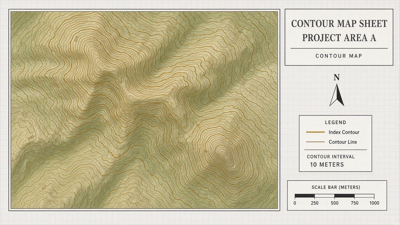
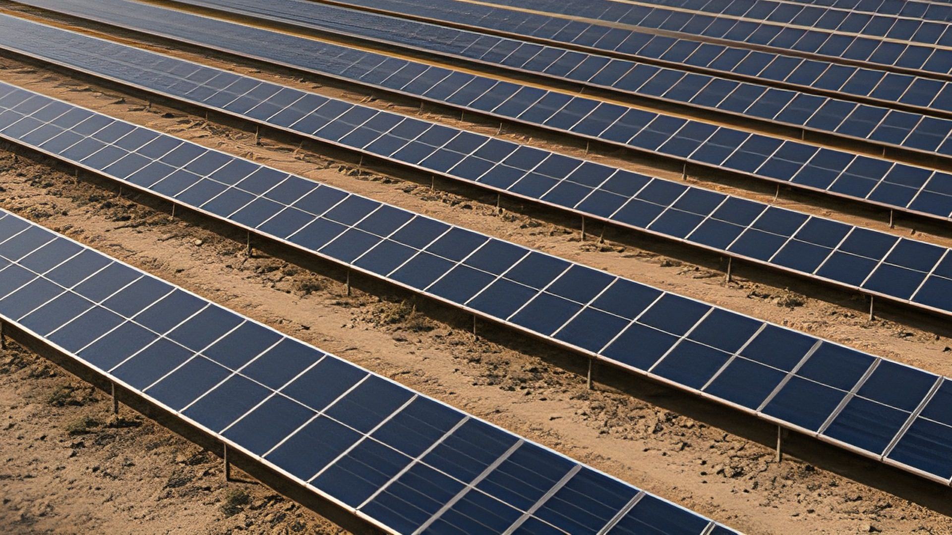
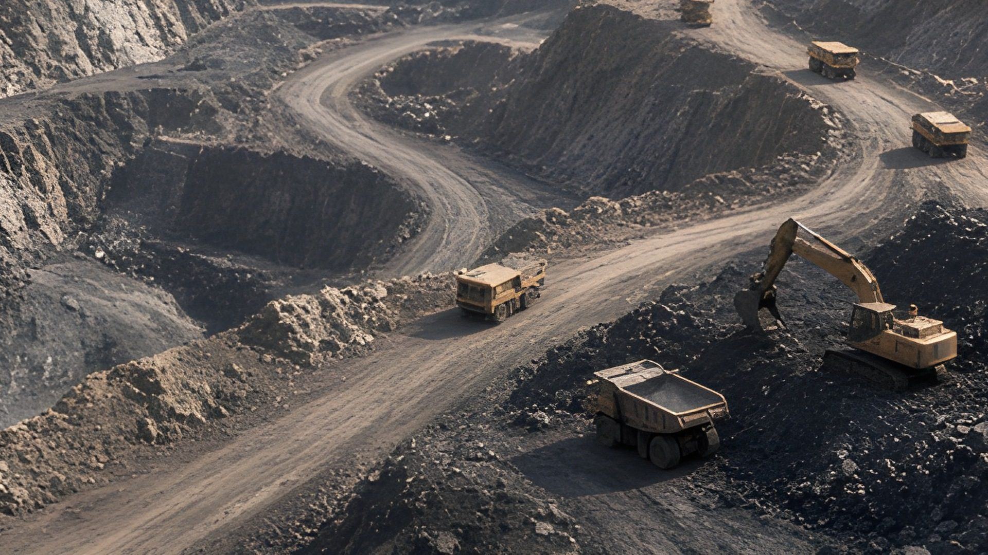
Survey and mapping, solar, mining, telecom and infrastructure.
Each page names the survey outputs for that work and the software workspace that holds the record.
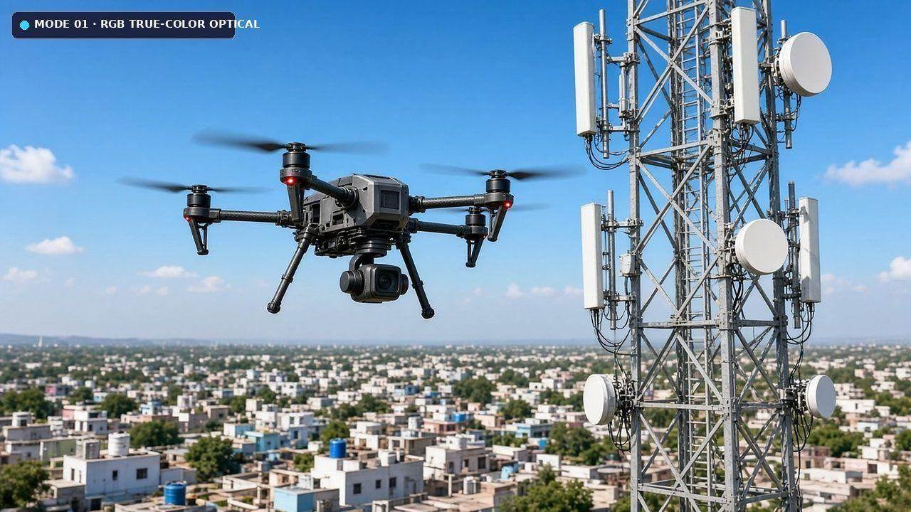
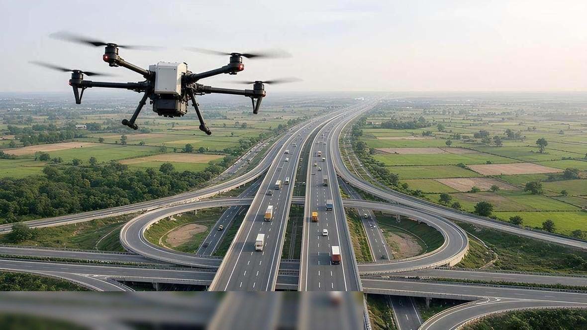
How a sector page is organised
Survey the work, process it, keep the record
Each industry page names the survey outputs for that work and the software workspace that holds them. Drone capture is one survey method. The same record can be opened again in Geospatial Visualisation and Analytics or in Big Data Management.
- SectorThe work to be surveyed
- CaptureDGPS and aerial mapping
- ProcessMaps, clouds, contours
- WorkspaceThe stored record
FAQ
Frequently asked questions
Survey and mapping, solar, mining, telecom and infrastructure.
Spatial & AI Workflow Architecture
End-to-end multi-modal data pipeline
Every survey, LiDAR point cloud and inspection dataset flows through Atrobot’s georeferenced processing and validation architecture into cloud GIS.
Next step
Request a Consultation
The enquiry goes to business@atrobot.in. You can also call +91-9319044881.