








01
Survey & Mapping
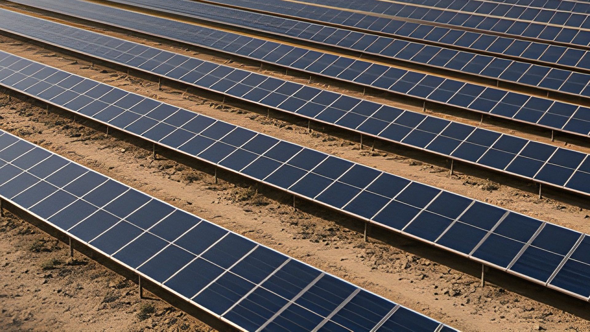
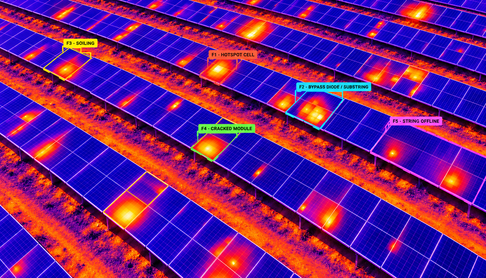
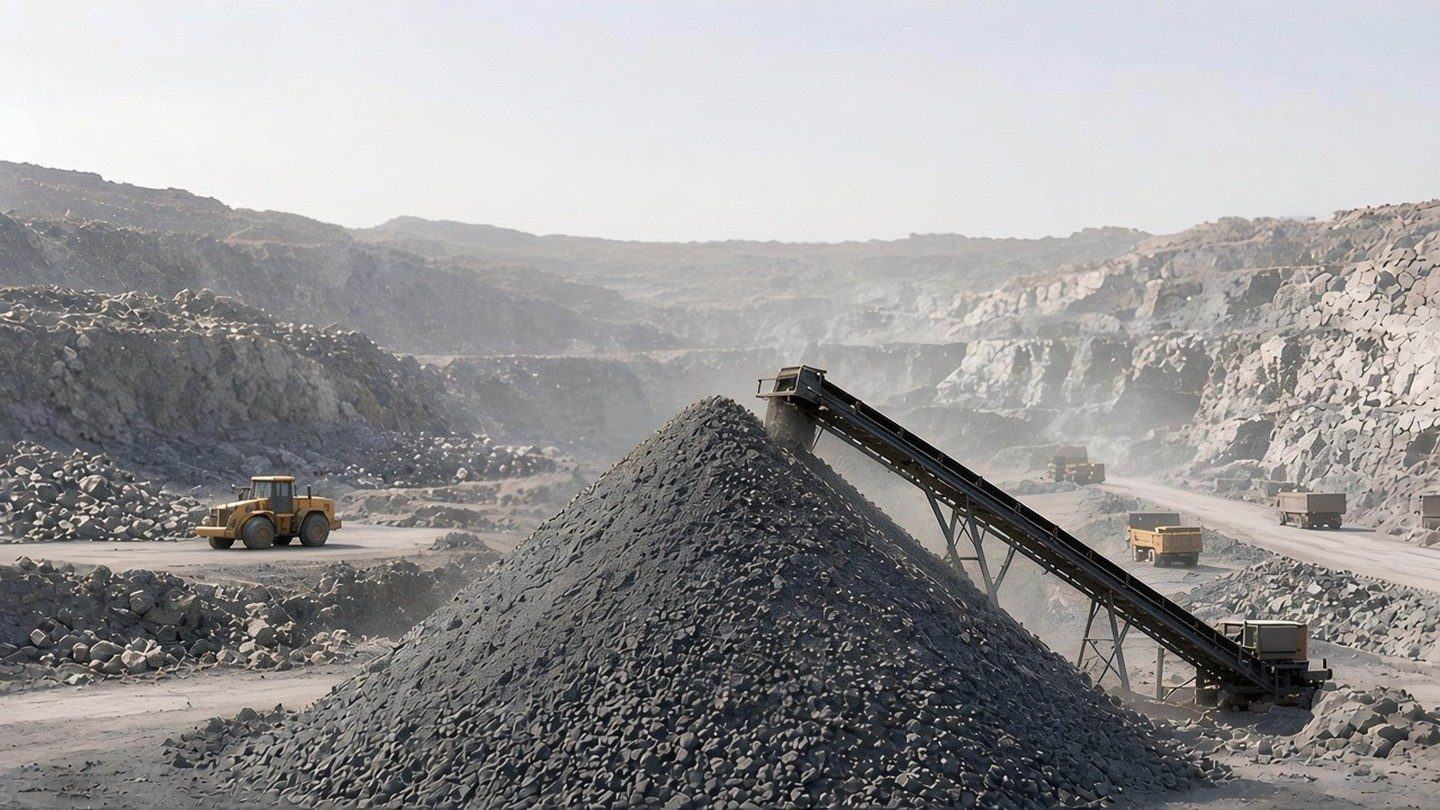
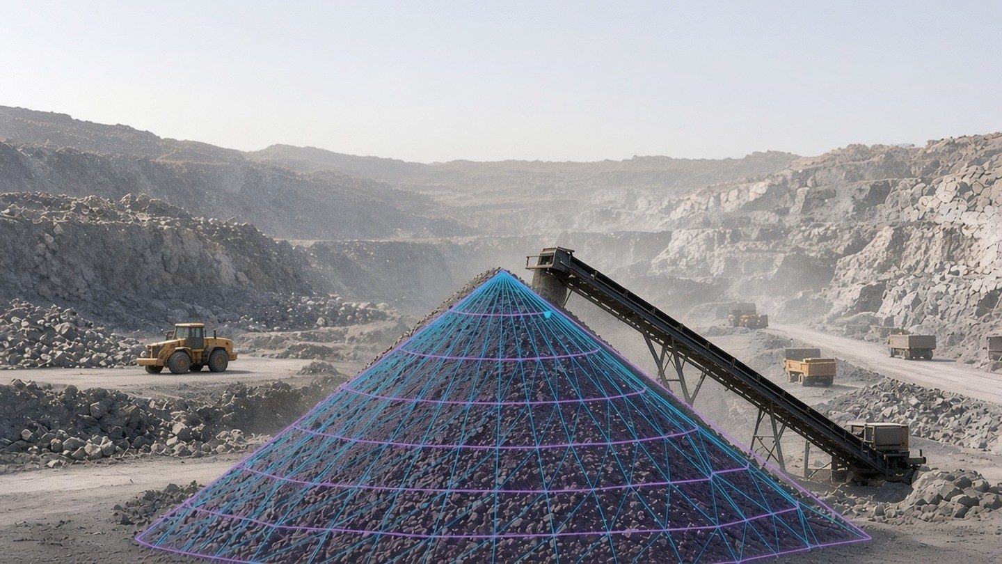
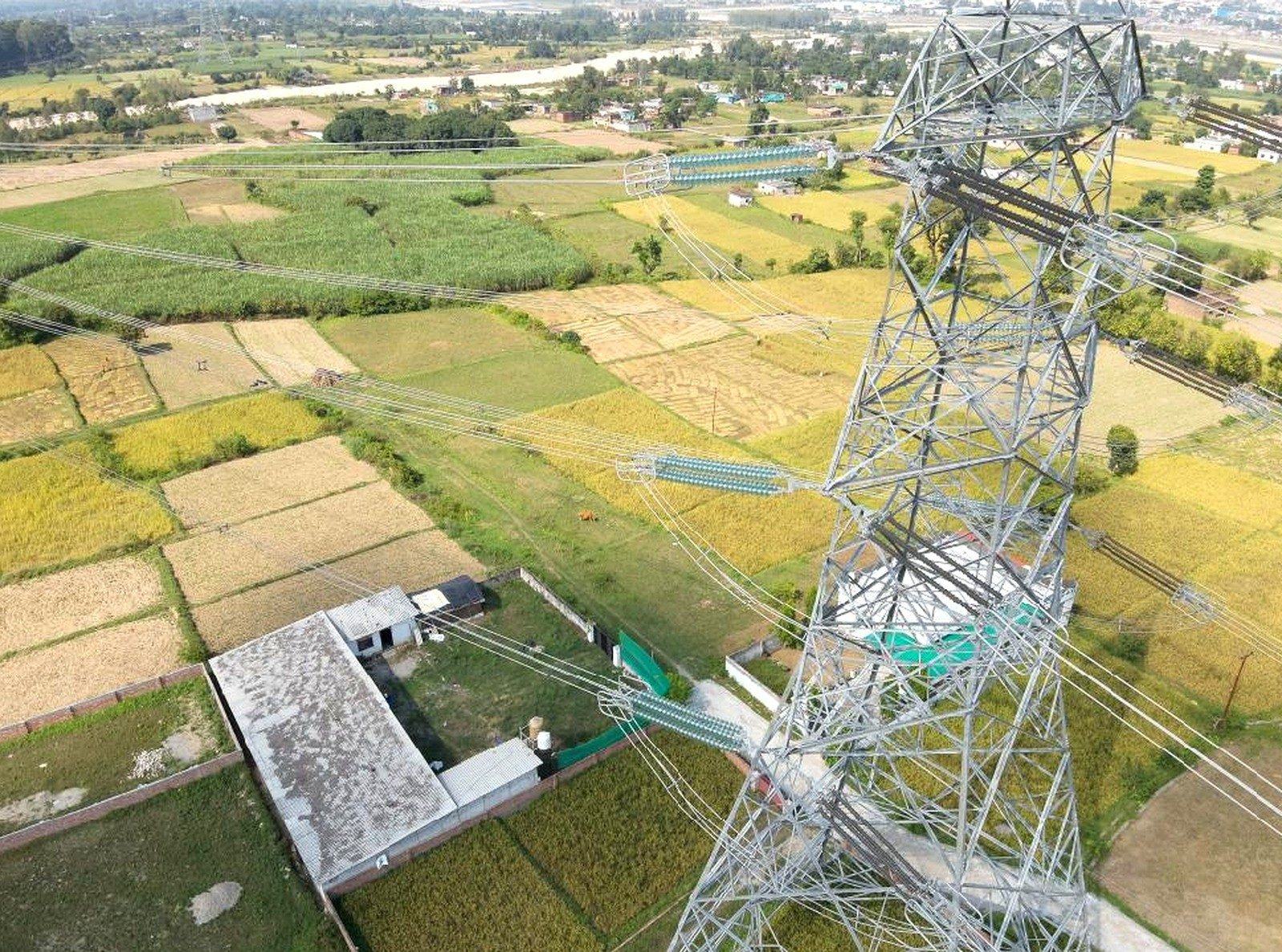
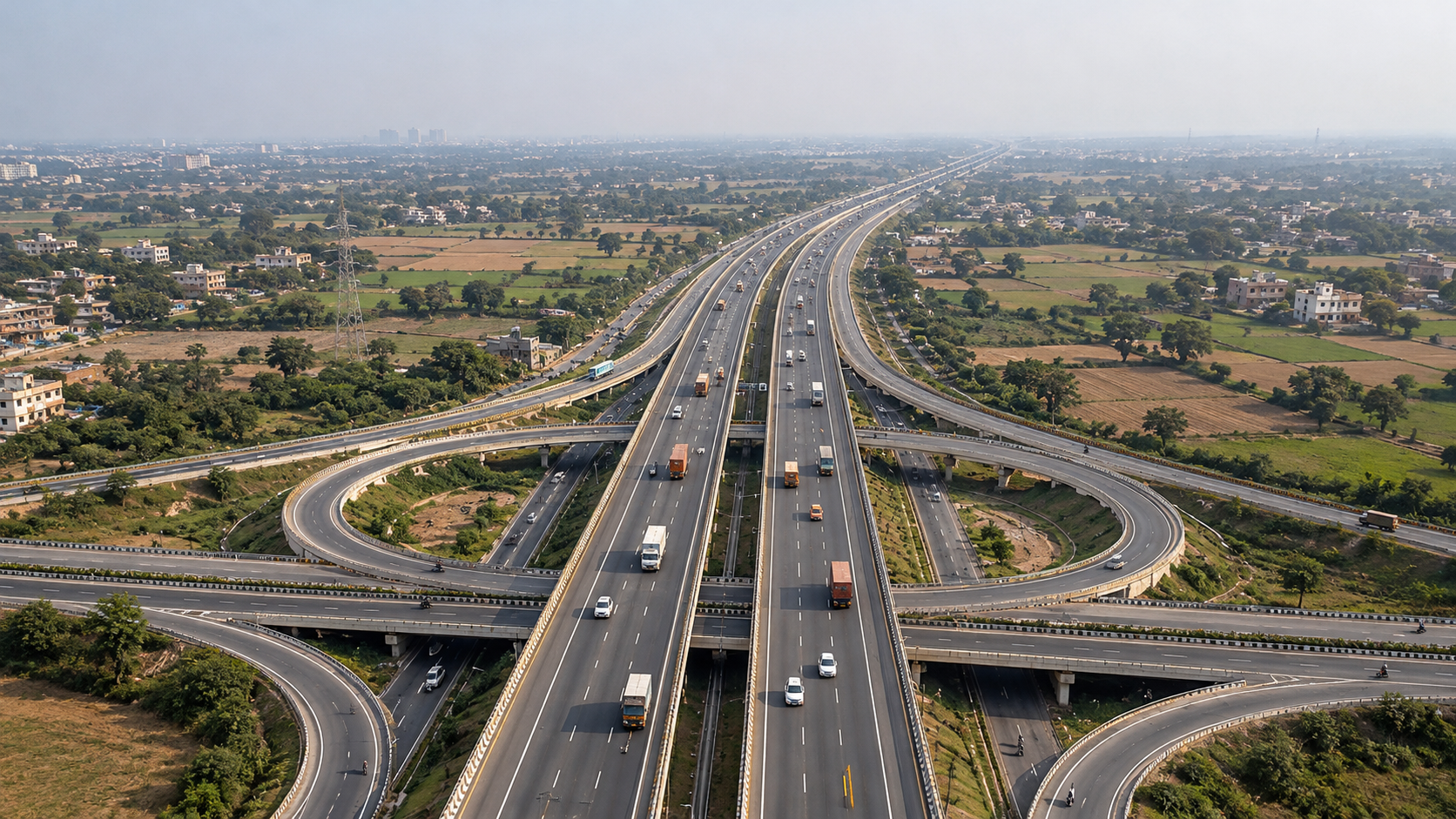
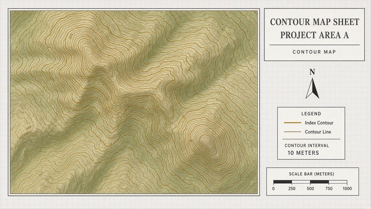
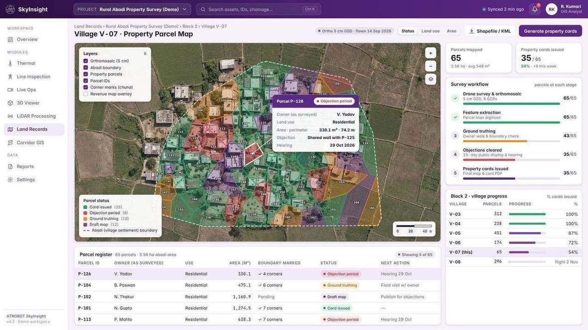
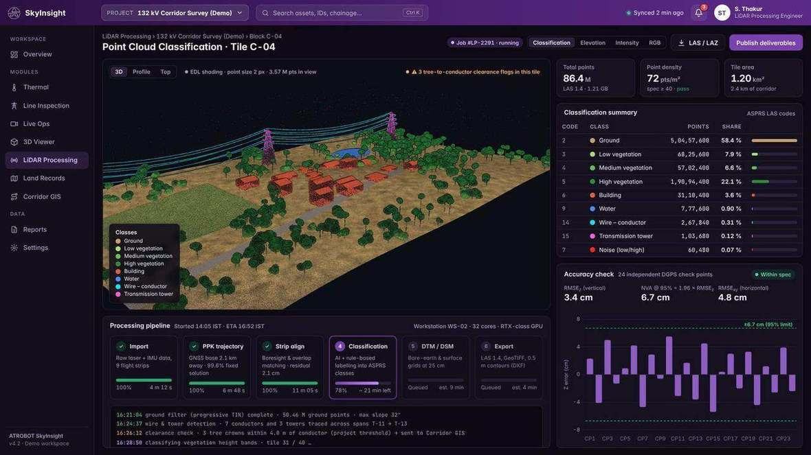
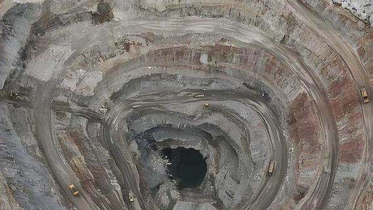
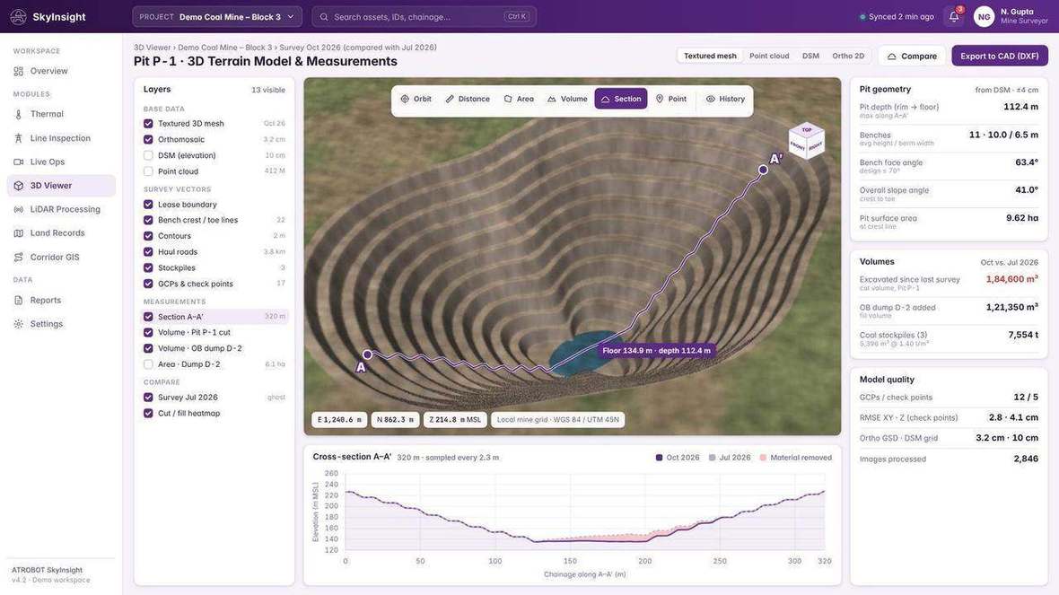
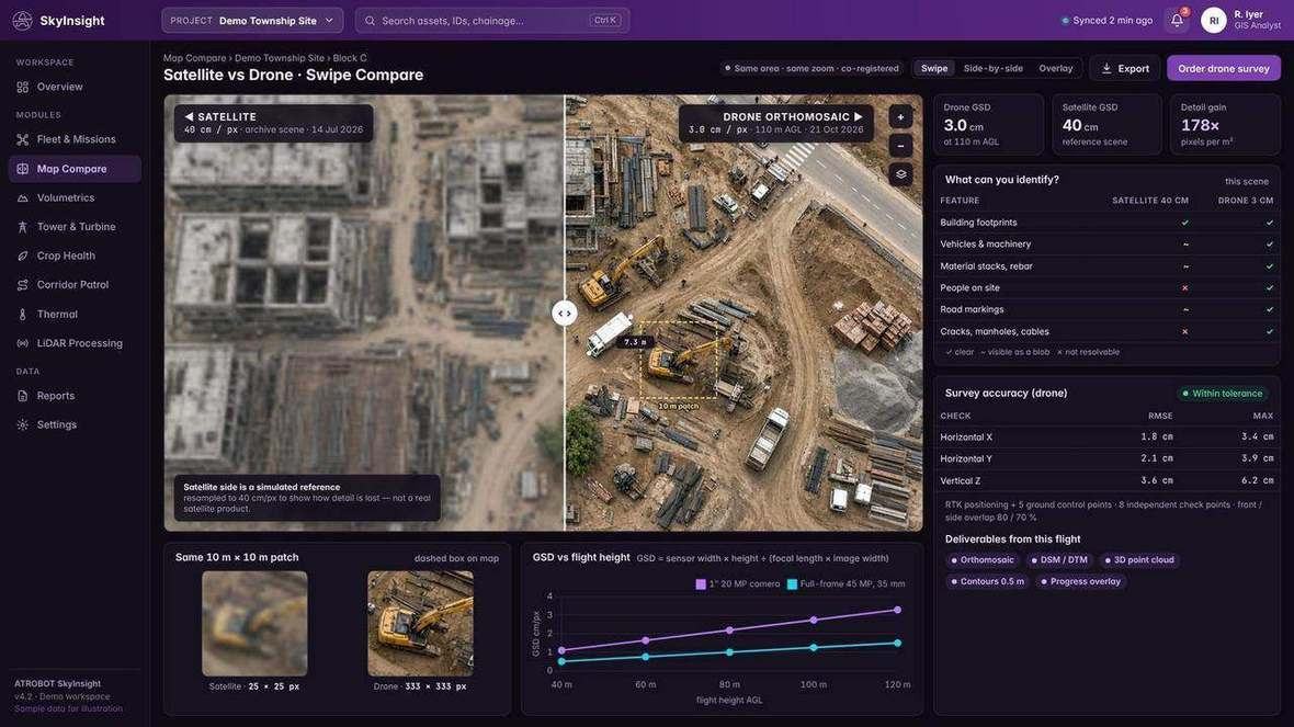
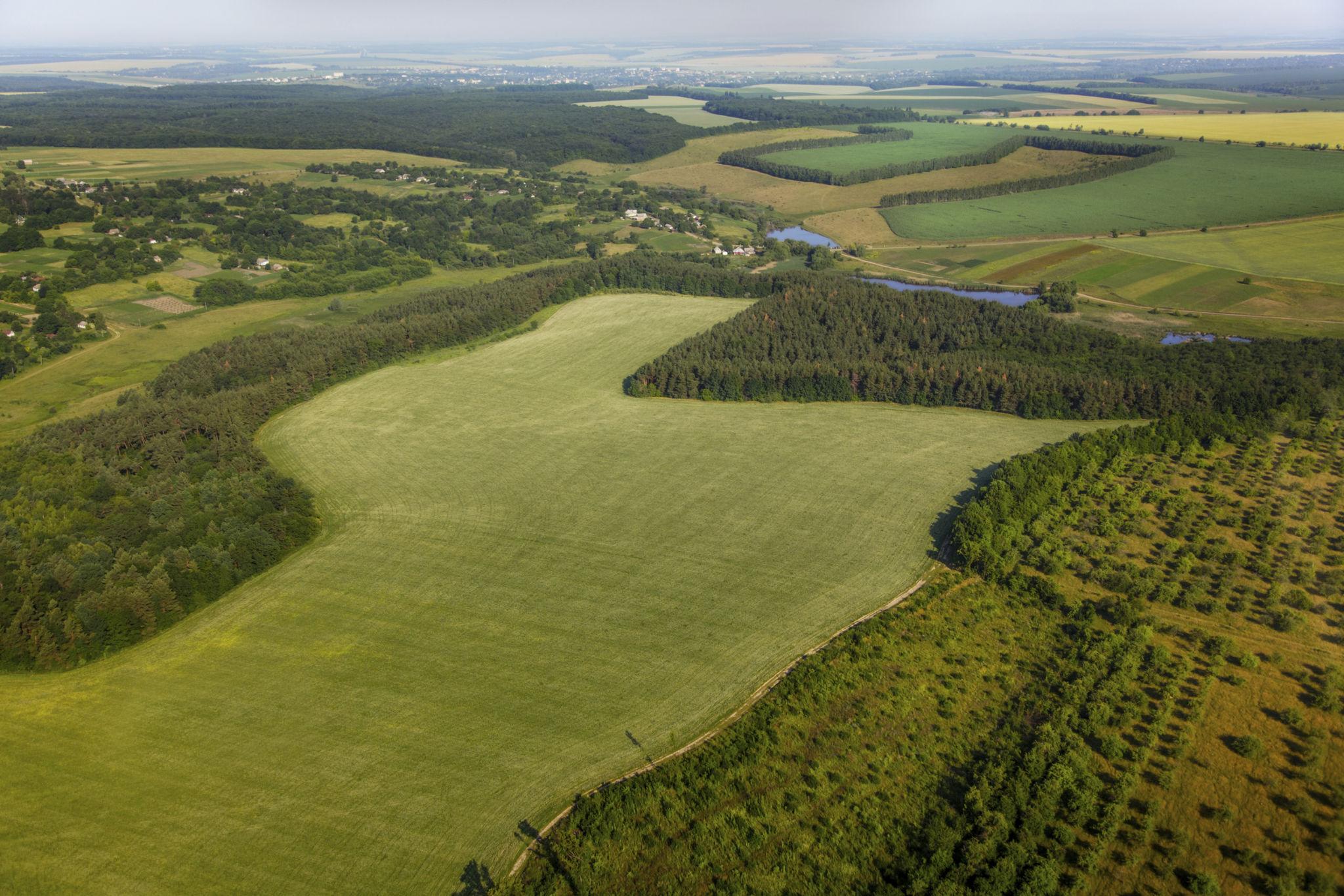
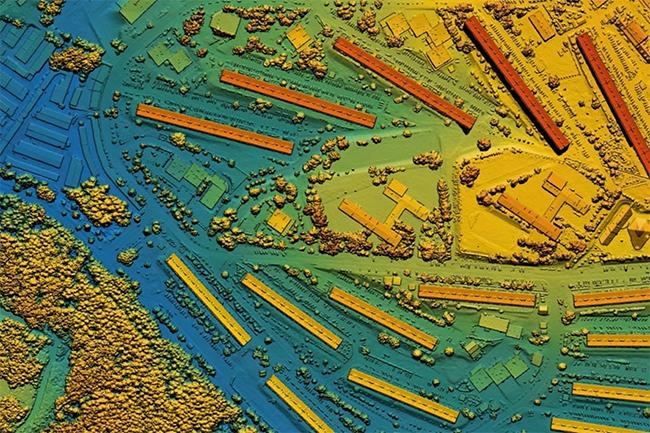
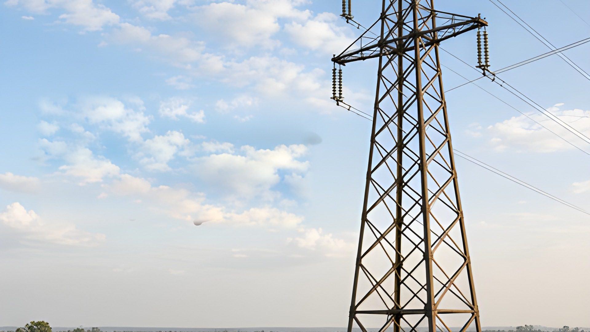
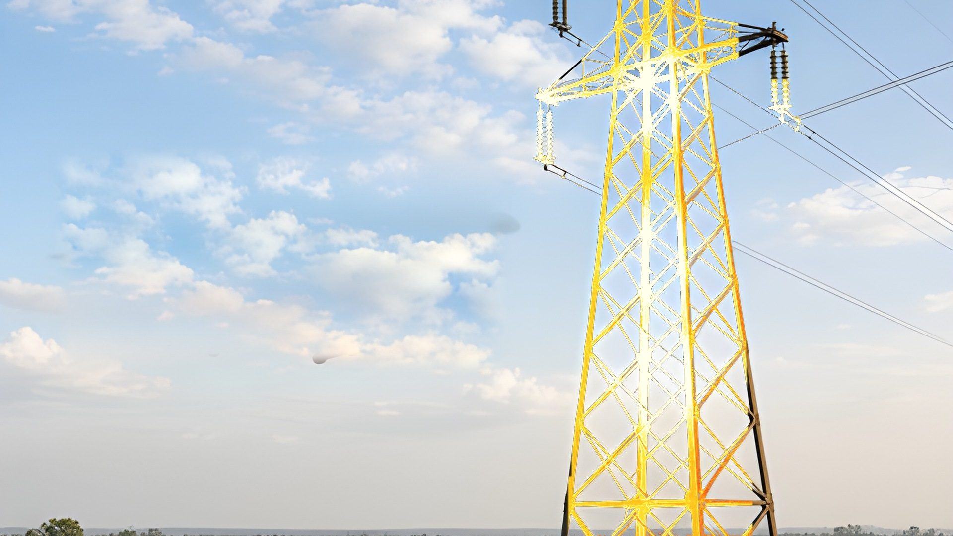
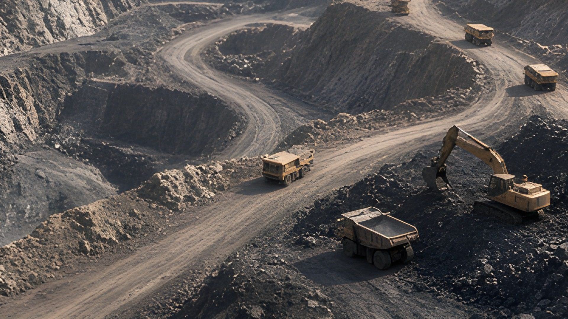
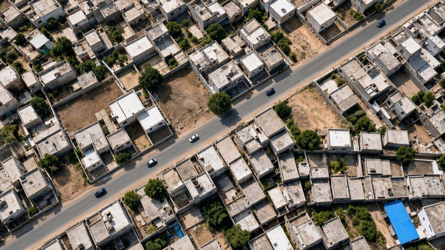
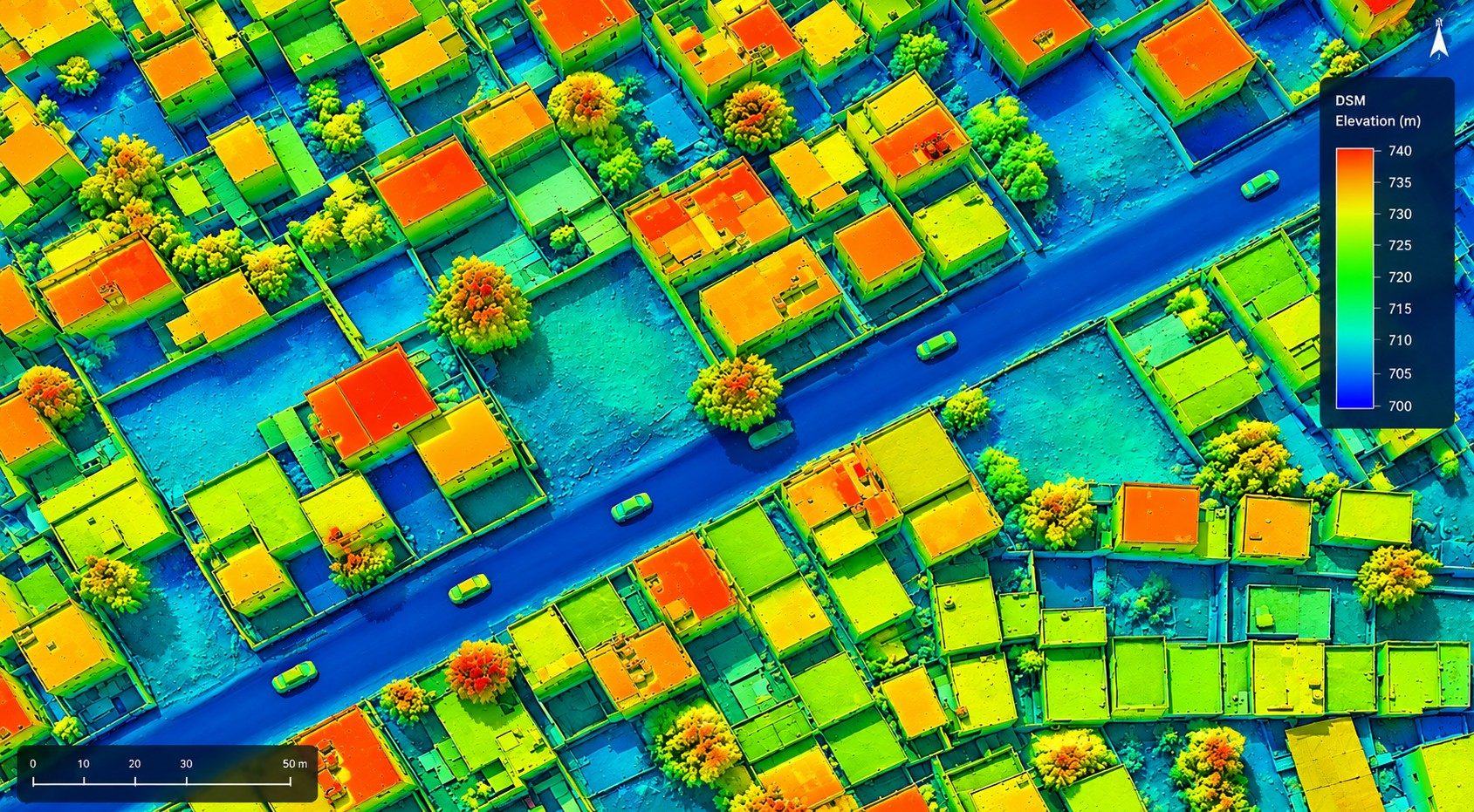
DGPS surveys and drone-based aerial mapping produce orthophoto maps, elevation models and point clouds. The left side of the comparison is an illustrative digital surface model. The right side is the raw aerial. It is not a client flight.
View