Inputs
Linear survey data for the route. Geospatial Visualisation & Analytics integrates CAD and BIM.

Corridor & infrastructure mapping
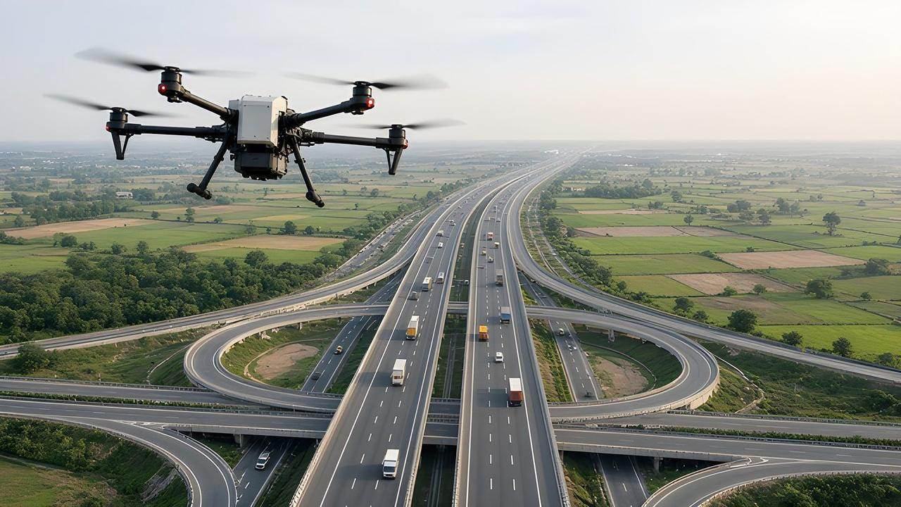
Linear survey and route maps, road-construction monitoring, DPR preparation, bridge and building analysis, BIM modelling and encroachment analysis. Asset records for the corridor can be held with the route map.
The corridor record supports roads, bridges and other linear assets, and a later flight can be compared with the stored map.
What it helps you understand
Route maps include ring routes. Infrastructure work includes road-construction monitoring, DPR preparation, bridge and building analysis, BIM modelling and encroachment analysis.
Workflow
The outcome is the route record: maps, DPR preparation, bridge and building analysis, BIM, and encroachment analysis, with the report in cloud storage.
Linear survey and mapping for the route. Drone capture is one survey method.
Route maps, including ring form. DPR preparation, BIM modelling, bridge and building analysis, and encroachment analysis.
The visualisation software includes data-validation workflows for the spatial data.
Route maps, DPR preparation, bridge and building analysis, BIM modelling, encroachment analysis, and report generation and cloud storage.
Linear survey data for the route. Geospatial Visualisation & Analytics integrates CAD and BIM.
Route maps, DPR preparation, bridge and building analysis, BIM modelling and encroachment analysis.
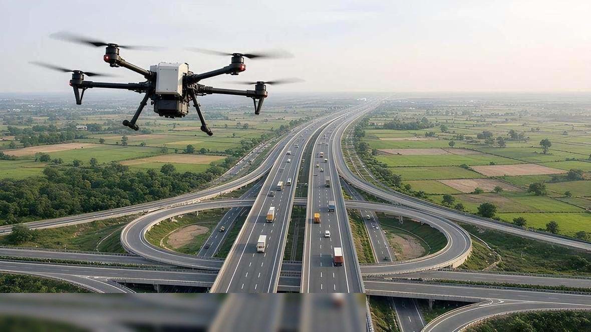
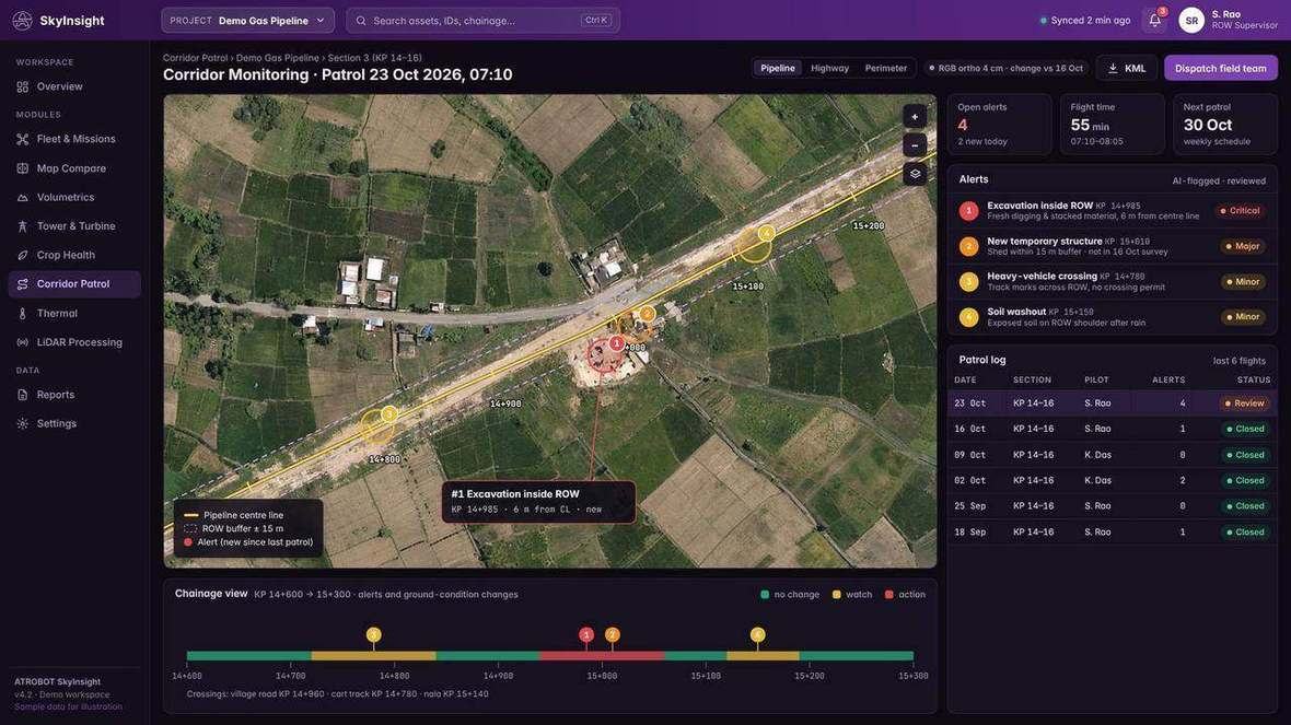
Road-construction monitoring, DPR preparation for roads and other infrastructure, bridge and building analysis, BIM modelling, encroachment analysis and asset management. The work also includes pot-hole analysis and tree counting.
Linear survey and mapping, and route maps in ring form.
Software
Cloud software that turns LiDAR, GIS and drone datasets into interactive dashboards, with 2D and 3D viewing in the browser.
A cloud system for operational, GIS and infrastructure data, including data collected by drone survey.
FAQ
Road-construction monitoring, DPR preparation, bridge and building analysis, BIM modelling, encroachment analysis, pot-hole analysis and tree counting.
Linear survey and route maps, including route maps in ring form.
Request a Consultation. The enquiry goes to business@atrobot.in. You can also call +91-9319044881.
Spatial & AI Workflow Architecture
Every survey, LiDAR point cloud and inspection dataset flows through Atrobot’s georeferenced processing and validation architecture into cloud GIS.
Next step
The enquiry goes to business@atrobot.in. You can also call +91-9319044881.